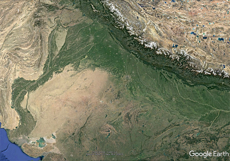
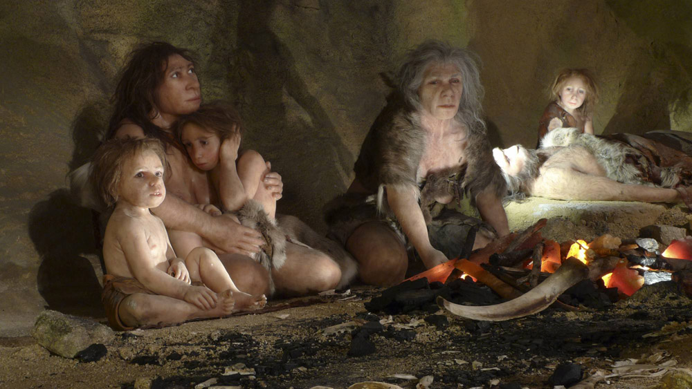
Until recently it was believed that humans only adapted to life at high elevations, such as those of the Tibetan Plateau, during the Holocene. Then it turned out that the DNA of modern Tibetans contains a mutated gene (EPAS1) that boosts haemoglobin production that underpins their comfortably living at above 4000 m. In quick succession it was discovered that modern humans were living in Tibet as early as 30 to 40 ka, the same gene was found in Denisovan DNA and then a jawbone of that earlier human emerged from a Tibetan cave. It has been estimated that ancestral Tibetans inherited the DNA segment from Denisovans at around 40 ka. The ancestral African homeland of our genus Homo has large highland tracts that rise above 4000 m, most notably Mount Kilimanjaro (5895 m, Tanzania), Mount Kenya (5199 m Kenya) and Mount Stanley (5109 m, Rwenzori, Uganda). Those three retain glaciers, albeit small ones. But during the last glacial maximum permanent ice fields also capped highland areas in Morocco, Ethiopia and South Africa. Today there are permanent or seasonal habitations above 4000 m in all these African settings because of warmer conditions, but DNA analyses of the inhabitants have yet to be tested for the EPAS1 genetic mutation.
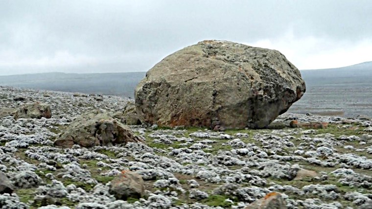
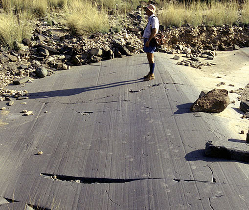
Understandably, research into the former glaciation of highland areas in tropical Africa is a hot topic. One of the largest areas of glacial till and moraine in Africa lies on the >4000 m high Sanetti Plateau in the Bale Mountains of south-eastern Ethiopia. These mountains are the dissected remnants of a Miocene shield volcano and host a rich ecosystem; in fact the largest reserve of Afro-alpine flora and fauna. Like many mountains in tropical Africa, Bale helps rising moist air to condense as mists. The resulting rich ecology makes such mountain systems high-elevation ‘oases’ surrounded by semi-arid to arid savannah and desert. Because this was likely to have been equally true during the more arid conditions of the last glacial period areas such as Bale may have been refuges for humans during those times, despite the risk of altitude sickness (hypoxia). Aarchaeologist Götz Ossendorf of the University of Cologne, together with a large team from Germany, France, Ethiopia, Switzerland the USA, set out to test this hypothesis ( Ossendorf, G. and 21 others 2019. Middle Stone Age foragers resided in high elevations of the glaciated Bale Mountains, Ethiopia. Science, v. 365, p. 583–587; DOI: 10.1126/science.aaw8942).
Their main target was to excavate a rock shelter at around 3500 m, but outcrops of volcanic glass (obsidian) at 4200 m had clearly attracted human interest as they are scattered with flaked tools and debitage from their manufacture. The upper sediment layers in the rock shelter yielded ashes, charcoal, a few pottery shards and a glass bead, together with evidence for herbivore droppings. Dates fall in the last 800 years; hardly surprising as the Bale Plateau is seasonally visited by local herders who use rock shelters as corrals for livestock. The lower levels, however, contain artefacts of the Middle Stone Age (MSA); the African terminology roughly equivalent to the Upper Palaeolithic in Eurasia. The MSA layer also contain coprolites, some of hyena in its upper parts but also massive amounts likely to be human that extend to the base of the cave sediments. Dated at 47 to 31 ka, the sediments bracket the age of maximum glacier extent.

The lower cave sediments contain abundant animal bones and signs of several hearths. Some of the bones show signs of cooking from burn marks. Although several prey species occur, more than 90% of the bones are those of giant mole rats (Tachyoryctes macrocephalus). It is not difficult to conclude that the human population’s meat consumption was almost entirely of roasted mole rat. That is not surprising because the thin soils of the Bale Mountains support at least 29 mole rats per hectare, each adult weighing around a kilogram. Like the guinea pig (Cavia porcellus), which forms a major source of protein for people living today in the high Andes of Peru and Bolivia – an estimated 65 million being eaten annually by Peruvians, mole rats are extremely easy to catch; an attractive proposition for consumers surviving under the stress of hypoxia. They also reproduce at a phenomenal rate Today, Andean people domesticate guinea pigs for the table. Until other sites of human habitation during the Bale ‘ice age’ whether the MSA people lived permanently at high elevation or migrated there seasonally, to gorge on mole rats, cannot be resolved.