
If you are a student or teacher of Earth Science topics, two eBooks that I have produced recently may interest you. Both are extensively updated and revised versions of my textbooks Stepping Stones: The Making of Our Home World (Oxford University Press, 1999) and Image Interpretation in Geology (3rd Edition, Blackwell Science/Nelson Thornes, 2001).
When they went out of print I acquired full rights to them from the publishers and have reissued them, in completely revised form, free of charge – I don’t need any additional income! Click on the links that follow to download either or both of them in a format suitable for the Kindle Reader (MOBI). If you prefer EPUB format, please contact me.
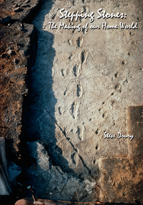
Stepping Stones (also at earthstep.wordpress.com in HTML format) is about where we came from, in the fullest sense. It is a multidisciplinary approach to the origin and evolution of the Earth, its dynamic systems, its biosphere and ourselves. Many people know more about the planets Venus and Mars than they do about our home planet, Earth. Unique in our solar system and, so far as we know, in the Universe, the Earth System has been evolving for the past 4.5 billion years, through the dynamic interplay of astronomical, physical, and chemical forces that have ranged from the vast to the barely perceptible. The evolution of the Earth and its life has never been predictable.
Life has come very close to being extinguished many times. After each such crisis, the survivors and their genes have diversified and grown in number to exploit all opportunities. Without such traumas it is hardly likely that evolution’s pace could have reached its present advanced level; that of conscious life capable of changing the world, contemplating it, and in doing so changing itself at geologically stupendous rates. In the book I explore, in novel ways and a personal style, how such a seemingly fragile world formed and developed. As well as telling the story, Stepping Stones teaches the principles that geoscientists have used to unravel the major steps in geological history and understand the processes that underpinned them.
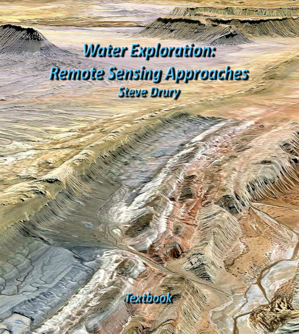
Water Exploration: Remote Sensing Approaches is based on my Image Interpretation in Geology, which was one of the premier textbooks for remote sensing and image interpretation in university geoscience departments for about three decades. Rather than re-brand it at a general level for yet another Edition, my strategy has been to focus on perhaps the most socially important task for professional geologists – discovering clean water supplies in arid and semi-arid lands.
Background theory is taught in six richly illustrated chapters. Chapter 1 covers the basics of hydrogeology. Chapter 2 is an introduction to remote sensing in the visible, reflected and emitted infrared, showing how the spectral properties of different surface materials can be used to design image-processing and -analysis strategies. Chapter 3 reviews the traditional, yet still highly effective use of stereoscopic aerial photography in terrain mapping and photogeology. Chapter 4 uses the wide-area stereo data produced by the orbiting ASTER system, supplemented by images from Google Earth, to study relationships between terrain, rock types and structures in several geologically well-studied and mapped areas, and some poorly documented areas in NE Africa. Chapter 5 shows how the spectral approach introduced in Chapter 2 can be applied to multispectral Landsat and ASTER data, using various image processing strategies. It centres on a structurally complex area in central Eritrea that shows a wide variety of lithologies to demonstrate the mapping power of free Landsat and ASTER data. Chapter 6 covers digital analysis of topographic elevation data to extract accurate drainage networks useful in assessing surface water harvesting and aquifer recharge opportunities.
The Chapters are part of an online training course that uses a free GIS software package to target potential water sources in several drought-prone areas

